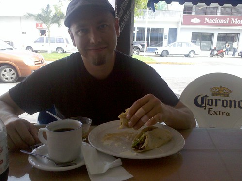
Marinated Pork Tacos with Cream in Chetumal
In first grade we were asked to contribute a recipe to the class cookbook. I chose tacos. I still do. If I leave work for lunch more often than not I'm getting tacos - but increasingly I've been drawn to more and more sketchy taco trucks in search of my fix.
So, it was no surprise to Shelly when I made it my unspoken quest to see just how questionable of an establishment she would let me visit. From experience she counseled me away from the shadiest street vendors, but she joined me in my gastronomical perversion.
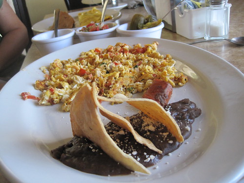
Tacos in the Morning - Huevos Mexicana in Campeche
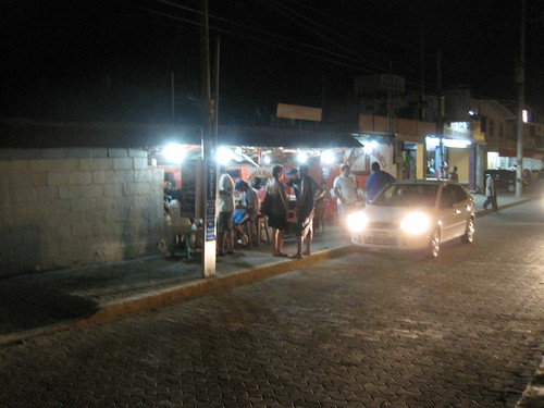
Tacos in the Evening - Tulum Street Tacos
I'm happy to report that we never got sick in Mexico. We didn't get sick even at the establishment where a friendly trio of overweight ladies ate food off our order while we worked to establish a shared word to describe cabbage. Even after a pair of "agua frescas", a sweet fruity drink served in used bottles refilled with a slurry of juice, pulp, sugar and water of questionable origin we held strong. We were intestinal rocks stars.
That is until we returned to America. We landed in Salt Lake City at nearly midnight and I was ravenous and still craving tacos. I stopped at a Taco Bell drive-in. Shelly, wisely, for the first time all trip didn't join me. Nearly immediately I felt sick and remained that way for the next week stateside. There's something seriously wrong if I can drink so-called "agua frescas" with no ill results and yet can't eat four tacos at Taco Bell (and they tasted gross too).
Lesson learned. In America you don't want a Mexican Restaurant with a drive-thru, you want a Mexican Restaurant with a driveshaft.